Automated Argos retrieval
STAT retrieves new tracking data from Argos and maintains your accumulated location archive, reducing the routine work required to keep tracking datasets current.
Manage, filter, map, and share Argos animal tracking data with STAT, SEATURTLE.ORG's web-based telemetry data management system.
STAT handles many of the routine tasks involved in working with satellite tracking data, from retrieving and organizing Argos locations to filtering tracks, generating maps, exporting data, and sharing selected results.
Returning to STAT after some time away? Sign in with your SEATURTLE.ORG account to access your existing programs and tracking data.
STAT retrieves new tracking data from Argos and maintains your accumulated location archive, reducing the routine work required to keep tracking datasets current.
Review locations, organize tags into projects, maintain metadata, and apply configurable filters based on location class, speed, distance, time, turning angle, and other tracking characteristics.
Maintain maps for individual tracked animals with configurable geographic extent, labels, track presentation, bathymetry, and other map options.
Display tracks with current environmental products, including GEBCO bathymetry, sea surface temperature, and ocean chlorophyll.
Export tracking records and derived values for use in spreadsheets, statistical software, GIS applications, Google Earth, and other analysis workflows.
Choose which tracking projects and animals to share publicly, collaborate with other researchers, and make selected tracking information available for education and outreach.
Satellite telemetry produces a continuing stream of locations that must be retrieved, organized, reviewed, filtered, and interpreted. STAT brings those steps together in a web-based system designed specifically for animal tracking.
Researchers retain control over their data and decide which projects or animals, if any, are shared through SEATURTLE.ORG. Tracking data can also be exported for analysis in other software at any time.
STAT uses your SEATURTLE.ORG account for access to your tracking programs and data. If you are already signed in, continue to the next step.
Contact us with your Argos program number and a brief description of your tracking project so that we can connect the appropriate program with your account.
Once your program is available in STAT, you can configure projects and tags, retrieve data, apply filters, generate maps, and choose how your tracking information is shared.
If you have used STAT in the past, start by signing in with your existing SEATURTLE.ORG account. Your existing programs and tracking records may already be available.
If you can sign in but do not see a program you previously used, contact us and we can check your access.
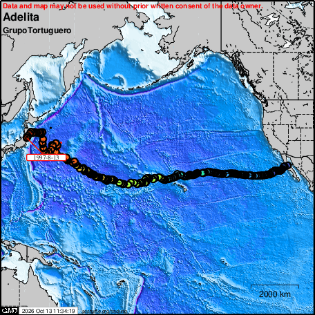
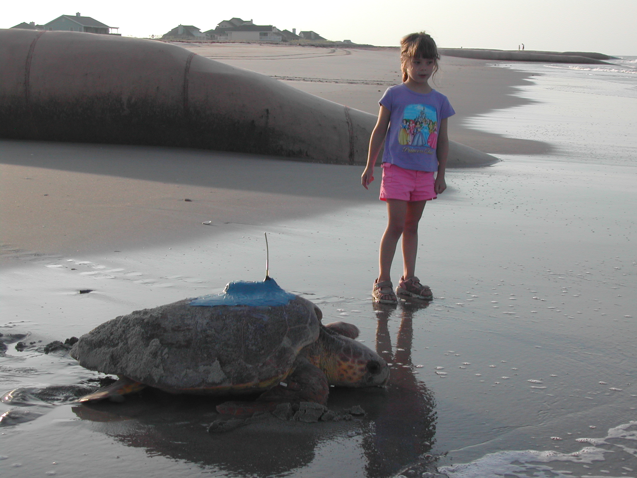
STAT grew out of the practical challenges of working with satellite telemetry data. In the 1990s, Michael Coyne began developing scripts to automate the processing and mapping of Argos data while helping J. Nichols track Adelita, a loggerhead turtle released in Mexico and followed across the Pacific. Work with Brendan Godley and a growing number of satellite tracking projects subsequently expanded those tools into an operational system for retrieving, managing, filtering, mapping, and sharing tracking data.
That system became the Satellite Tracking and Analysis Tool (STAT), developed by SEATURTLE.ORG in collaboration with the Marine Turtle Research Group and first formally described by Coyne and Godley in 2005.
The design and original implementation of STAT were described in Marine Ecology Progress Series:
Coyne, M.S. & Godley, B.J. (2005). Satellite Tracking and Analysis Tool (STAT): an integrated system for archiving, analyzing and mapping animal tracking data. Marine Ecology Progress Series 301: 1–7.
If you are interested in using STAT, need access to an existing tracking program, or have questions about your data, contact us at tracking@seaturtle.org.